Distance
Unlike a typical Greenway that runs on a disused railway or canal – along a linear route – this is a complex network of inter-connected cycle paths. If you placed all the various sections of the cycle paths end to end – they would measure over 40km – making it the longest Greenway in NI.
Roundabouts
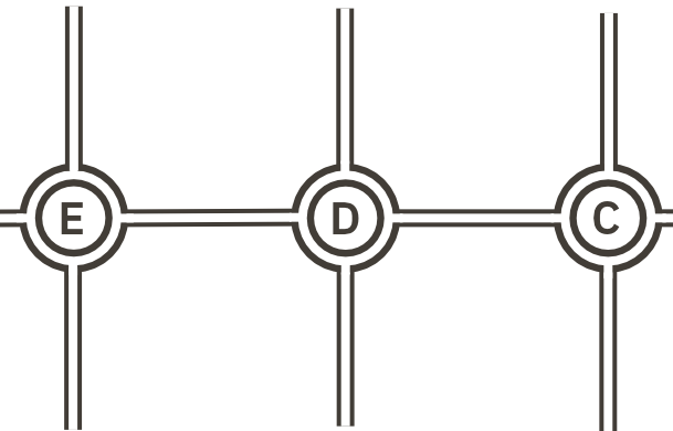
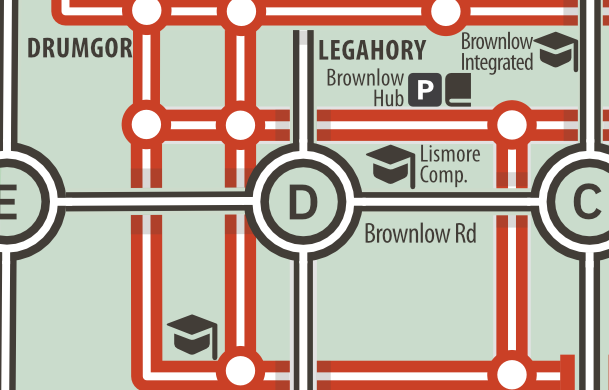
The defining feature in Craigavon are the roundabouts – despite our best efforts they are still named 1–8 heading East to West from Portadown to Lurgan, and B–E to the South of the Brownlow area. If you are already familiar with the road network, these should help you orientate yourself.
Distortions
Like more complex network maps – the Black Paths map is not topographically accurate – it indicates how to navigate between 2 points - not the distance. The Brownlow area, with the most connections is enlarged. Those areas with less connectivity – toward Lurgan and Portadown – have been squeezed and stretched.
Extremities
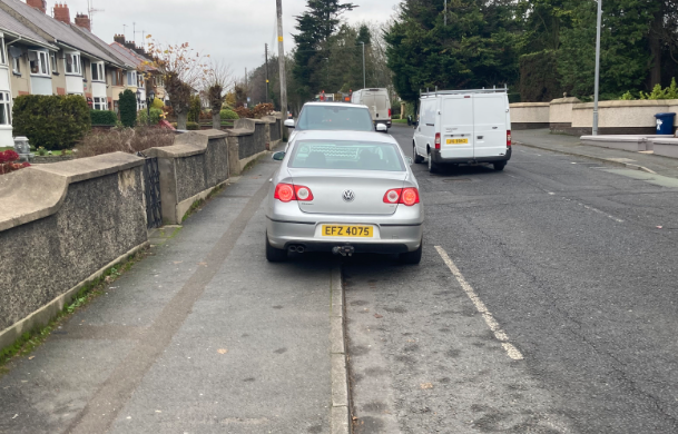
Towards Lurgan and Portadown and the industrial estates, cycle lanes aren’t segregated and cars are usually parked in them (not illegal). This means mixing it more with traffic. You begin to really appreciate the achievement of the Black Paths at this point.
Surfaces
Surfaces vary throughout – from pristine tarmac to potholes, root ruts and even some muddy tracks. Broken glass is an issue – it's best to dismount and navigate on foot if you see it. Carry a spare tube and a pump. Halfords have a bike repair shop across the Central Way bridge (see map).
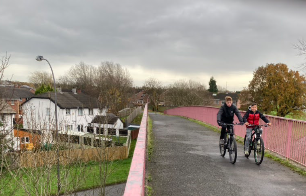
Safety
They are incredibly safe to cycle on. Check your bike and weather before going out. Look out for other users – pedestrians/wheelers/cyclists. At the Lakes signage indicates which side of the path to use. Be prepared to re-join traffic toward Portadown/Lurgan etc.
Who can use the map?
With people rediscovering cycling during the pandemic, and many more looking for ways of keeping active and reducing transport costs – Craigavon is the only area in Northern Ireland/Ireland tailor-made for cycling, wheeling and walking.
With incredible connectivity to communities, schools, shops, entertainment, leisure facilities, health centres, local industry and rail & bus networks – who needs a car?
- 01. Cyclists, walkers & runners
- Black Paths were made for cyclists and walkers. Runners also have a marathon's worth of car free track. There's now no excuse – get off the beaten track and explore a bit more!
- 02. Wheelers
- You'll not find cars dumped on the footpath, cluttered street furniture, high kerbs, dangerous pedestrian crossings, and other access issues typical in towns and cities. This is how it should be everywhere.
- 03. Schools
- Almost all schools in the area have direct access to the network. Many have sheltered bike parking facilities too. Children wanting to cycle or parents wanting to organise a 'cycle bus' can use the map to organise routes to school. The map can also be used for school activities such as treasure hunts and wayfinding projects.
- 04. Newcomers
- Just moved into the area? The map will save you days of chasing your tail and scratching your head as you cycle or walk around the area thinking to yourself - "have I been here before"?
- 05. Work
- With 4 industrial estates minutes away by bike – save youself time and money and start cycling to work. You can park your bike at both train stations and take the train to work. Bikes can be carried on trains Mon–Fri after 9.30am, and anytime on weekends. No additional charge.
Map key
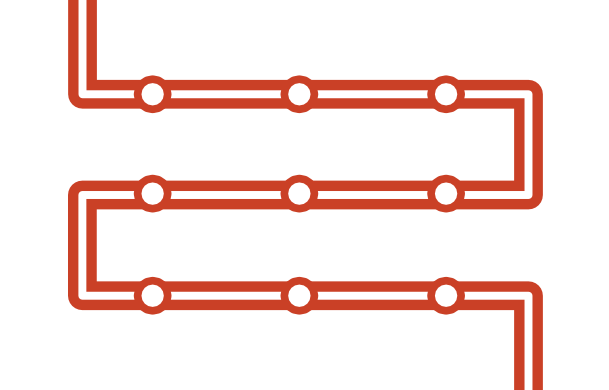
Cycle paths
The Black Paths are highlighted in red.
Cycle junctions
Where one main cycle path intersects another…
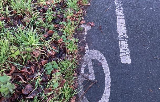
Cycle lane ends
Where a cycle lane ends or cross a road
Shared road/path
Where cyclists share the road/path with cars or pedestrians
Bike parking
Places to secure your bike – bring a good lock.
Education
Schools & colleges are marked
Mountain biking
There is an additional 10km MTB trail in the park
Industry
The 4 industrial estates are highlighted
Bike mechanic
Halfords’ repair shop is in the centre of Craigavon